01
Fragmented data. One clear view.
Bring cadastral, flooding, soil, and zoning information together. Regional differences, normalized into data you can work with.
Four dataset categories. One starting point.A clearer property picture.
Turn a Belgian address into source-backed property data
and ready-to-use reports. Built for real-estate software.
Explore the data first. Integrate when you’re ready.
Built on Belgium’s federal and regional public data
Less complexity for your team. More useful information for your customers.
Bring cadastral, flooding, soil, and zoning information together. Regional differences, normalized into data you can work with.
Four dataset categories. One starting point.Keep the publisher and retrieval context alongside the results. Give your customers a clear view of the source behind the information.
Traceable sources. Visible limitations.Turn available facts into dated reports. Download the PDFs in one ZIP, ready to review, print, or share through your own workflow.
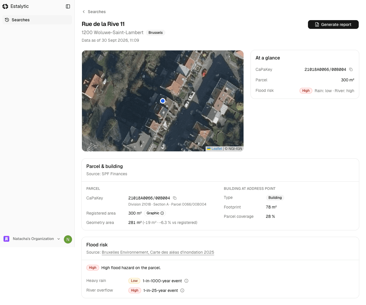
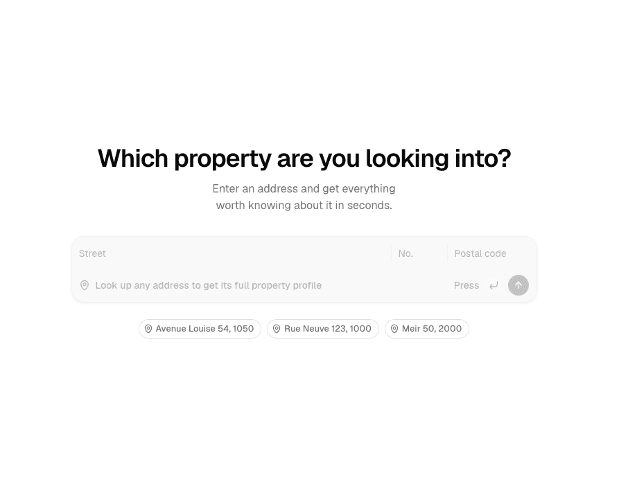
From property data to useful documents.Search a Belgian address and bring the available facts into one clear view. Explore the map, review the data, and follow it back to its source.

The parcel. The planning context. The environmental risks. Bring the available public information into focus, before the next conversation.
See what you can buildFor the teams building Belgium’s real-estate software. Choose how property information fits your customers’ day.
Bring Belgian property information into your software through a REST API. Keep your interface, your workflows, and your customer relationship.
 Estalytic
What to know before your first property search.
Explore the facts. Create a report. See what’s possible for your product.